An integrated 1D–2D hydraulic modelling approach to assess the sensitivity of a coastal region to compound flooding hazard under climate change
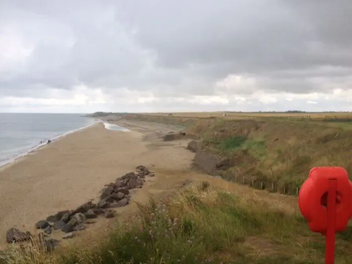
 Image credit: Ulysse Pasquier
Abstract
Coastal regions are dynamic areas that often lie at the junction of different natural hazards. Extreme events such as storm surges and high precipitation are significant sources of concern for flood management. As climatic changes and sea-level rise put further pressure on these vulnerable systems, there is a need for a better understanding of the implications of compounding hazards. Recent computational advances in hydraulic modelling offer new opportunities to support decision-making and adaptation. Our research makes use of recently released features in the HEC-RAS version 5.0 software to develop an integrated 1D–2D hydrodynamic model. Using extreme value analysis with the Peaks-Over-Threshold method to define extreme scenarios, the model was applied to the eastern coast of the UK. The sensitivity of the protected wetland known as the Broads to a combination of fluvial, tidal and coastal sources of flooding was assessed, accounting for different rates of twenty-first century sea-level rise up to the year 2100. The 1D–2D approach led to a more detailed representation of inundation in coastal urban areas, while allowing for interactions with more fluvially dominated inland areas to be captured. While flooding was primarily driven by increased sea levels, combined events exacerbated flooded area by 5–40% and average depth by 10–32%, affecting different locations depending on the scenario. The results emphasise the importance of catchment-scale strategies that account for potentially interacting sources of flooding.